
I attended the Live the Universe and Everything symposium. These are notes from one of the panels. Any misinformation is the fault of the note taker.
- When building a map, keep track of distances, as well as the time of travel.
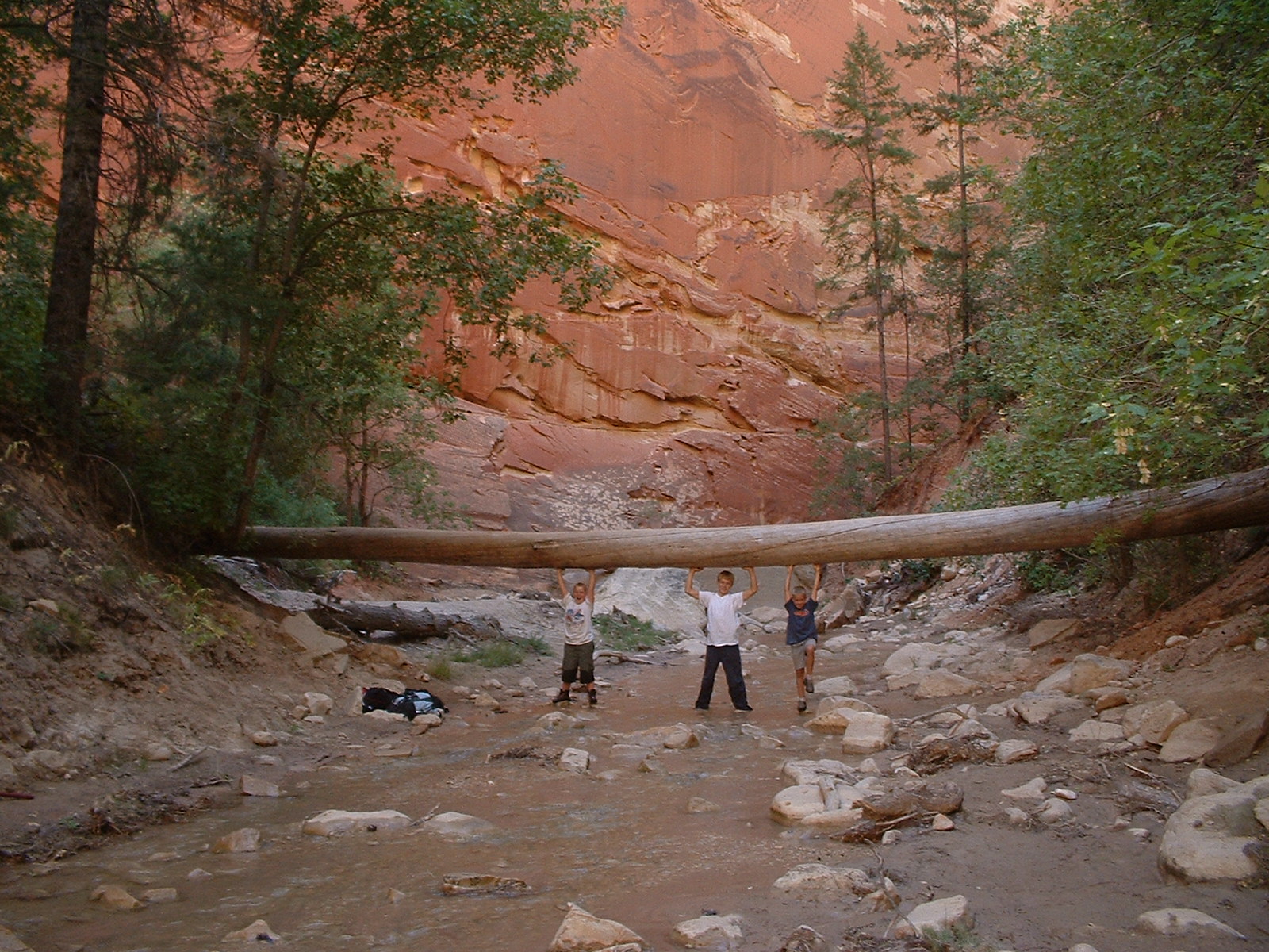
- Maps change as geography changes.
- Matt is a snapshot of time. It is not quick to accommodate new construction.
- Maps help you understand geography. Don’t have the sunrise and sunset in the same forest. Some will even map out a town or building to keep track of events in the fiction. The mass of a town or building is only for the use of the author.
- One religious map has Israel as the center of the map.
- Keep maps as simple as possible.
- Maps need to be reader-centric.
- Amazon has a tool called x-ray where you can give maps to embellish your fiction. It can also give external attributes of your book. Amazon will charge a larger price for the more images or megabytes you have on your manuscript.
- Obtaining map sources: campaign CA geode GA HCR makes maps. It has a fractional feature. It can arrange and drop symbols to identify different aspects of the landscape there are also a lot of free map-making resources up on the Internet for free. Google the phrase ‘mapmakers
- You can also alter the current map. A fantasy world might be in an altered map of Texas.
- Some people make maps in layers. Geography bottom layer of streets and roads and rivers their own layers and buildings is a layer.
- A map is a relationship to what is happening.
- If your story overflows the width of the map then change and create a new map to suit your new needs. If you put a high mountain or high building in your book people want to visit that mountain and building. Your map is never finished until you go to press
- How do external elements influence your maps? Volcanic stones, the weather, floods, wind.
- Label East West North and South on your map.
- Geography and land obstacles can add complications for your characters. Some areas of the country may be influenced by drought or flood.
- Iceland was named Iceland to discourage people from bothering them.
- All maps are subjective and influenced by culture.
- Study geography to see the in and outlets of rivers that work.
- Not everything may be on a map. One person was traveling in Germany and encountered a small town. They went past that small town to another small town that was also not on the map. Some people will draw their world on a ball.